blah blah blah
Mt. Prospect
Length: 3.3 miles out-and-back with loopDifficulty (click for info): Easy
Elevation Gain: 1050 feet (+30 feet on descent)
Rating (click for info): 6/10
Elevation: 2063'
Prominence: 1114'
Driving Directions:
Trailhead is on Mt. Prospect Road in Holderness, NH. From exit 25 off I-93, head east on Rt. 175A. Continue onto Rt. 175 south and take the first left onto Mt. Prospect Road. Travel 2.7 miles up the road to a sharp left curve beside an open field. Park on the side of the road at a trail with small granite blocks across it. Click here for a Google map.
About the Hike:
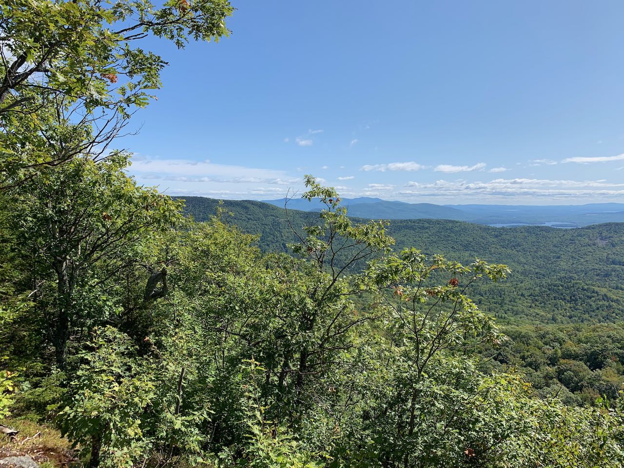
Mt. Prospect is the odd mountain out from the Squam Range, the string of mountains around 2000-feet high on the northern side of Squam Lake. While all the other major summits are in a neat line along the main ridge have well-maintained trails taken care of by the Squam Lakes Association, Mt. Prospect sits by itself off to the northwest of the other mountains and is only vaguely associated with the range. Only unofficial trails reach the summit, and few even know its name. Mt. Prospect deserves its place with the other summits of the Squam Range, and offers a quieter alternative to the bustling trails around such crowded mountains as Morgan and Percival. Though it doesn't have a wide open summit, the mountain's one trail does visit a lovely ledge outlook that provides a view across the lower Squam summits to the sprawling lakes.
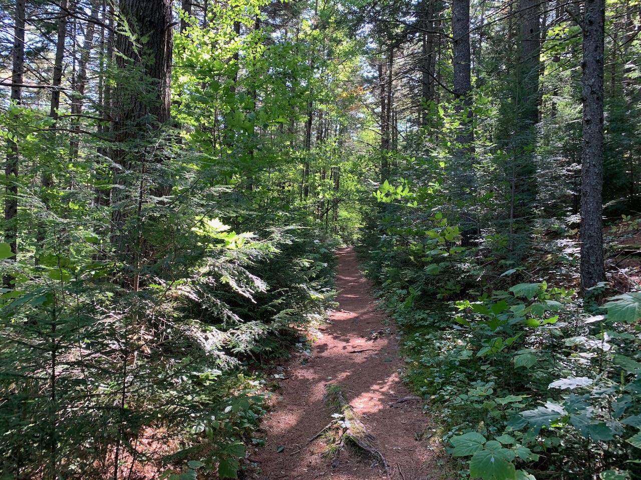
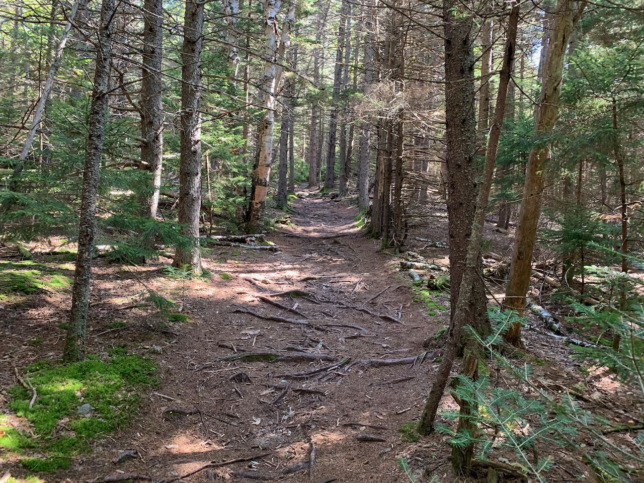
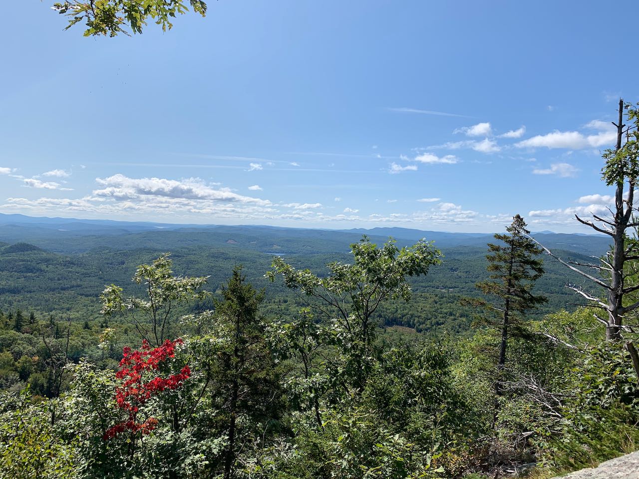
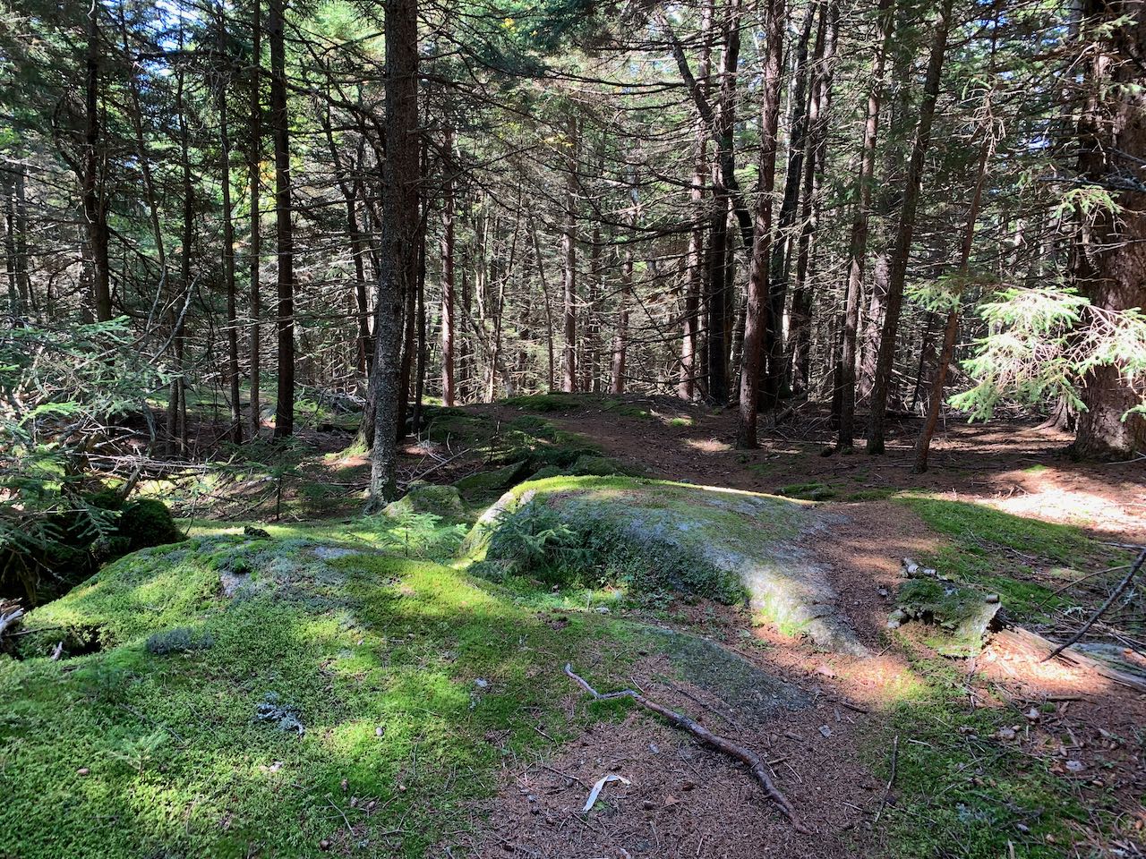
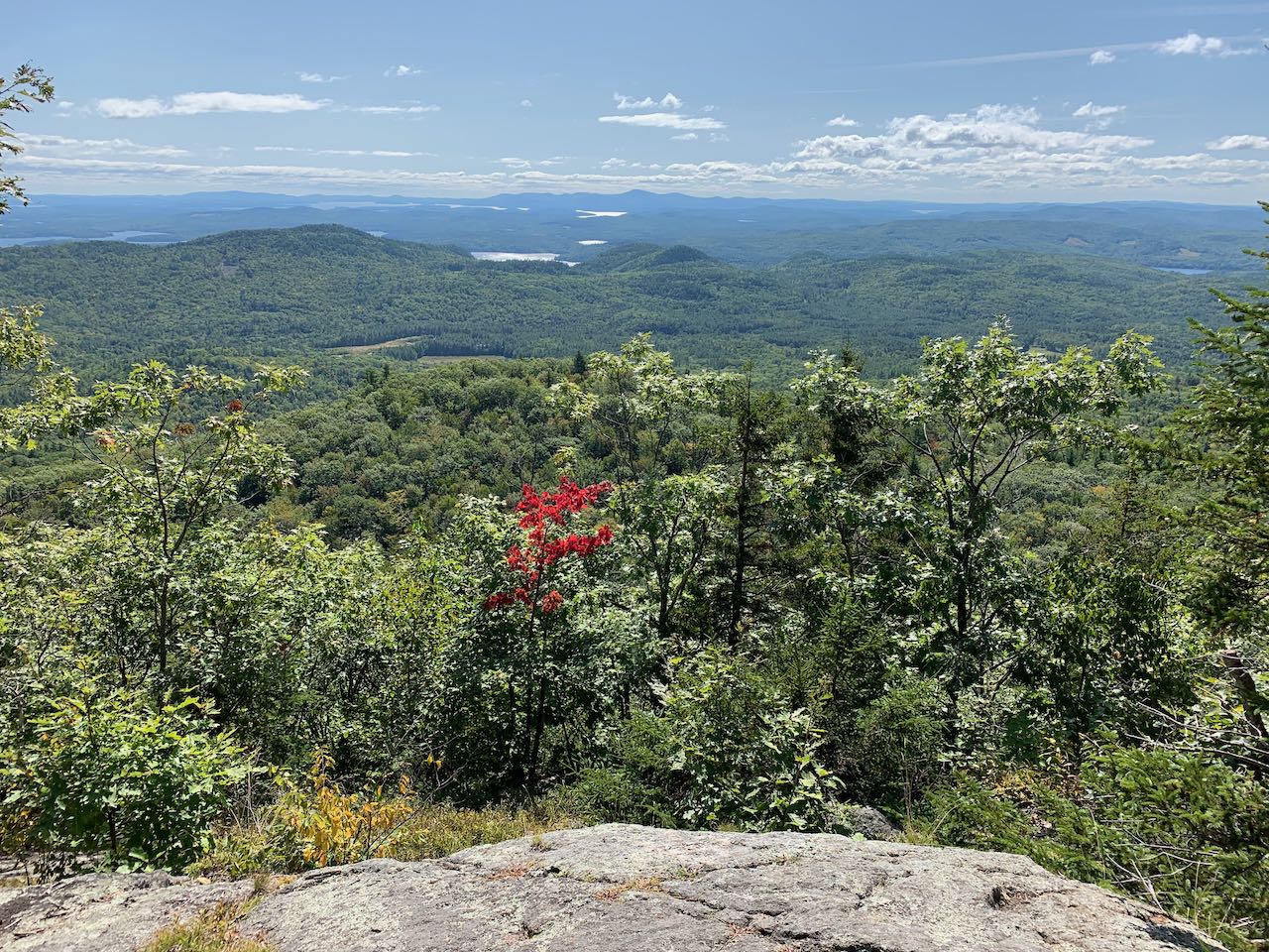
From the trailhead, the wide trail drops down to cross Durgin Brook, then begins climbing up a hollowed out woods road. You will soon reach the top of a very sharp ridge, which the trail climbs at easy to moderate grades for over half a mile. Several bike trails diverge in this section. Near the end of the ridge, 0.7 miles from the trailhead, the path narrows and reaches a fork where another bike trail goes right. Bear left and walk across a flat section to a muddy col between Mt. Prospect and a western knob. You will reach a T-junction here after another 0.2 miles; turn left and begin climbing. Stay straight as another bike trail leads to the left. The trail climbs at moderate grades for 0.4 miles, with some rockiness and erosion, into more coniferous forest. At a junction marked with a cairn, the summit loop splits. Follow the right fork, which passes the outlooks, first. The right fork dips through a ferny area, then climbs to another junction in 0.1 miles, where a spur trail to the best viewpoint leads to the right. You come out onto a small open ledge with an excellent view over the Lakes Region, looking out over the nearby ridgeline of the Squam Range. Over to the left, behind Mt. Webster, are the Ossipee Range and Red Hill. Portions of Squam Lake can be seen over Mt. Livermore, with Copple Crown Mountain far in the distance. The Belknap Range and Lake Winnipesaukee are behind Cotton Mountain, the lowest of the Squam summits. The bumpy ridge of Hersey Mountain is further over the right, with Mt. Kearsarge visible in the distance even further right. The main trail continues up through areas of mossy bedrock, passing another less open outlook in the same direction, to swing over the summit in 0.2 miles. Continue to follow the loop as it gradually descends, zigzagging through the dark forest for a quarter mile to drop you back out at the loop junction.
Printable directions page